
Ullister Hill
Height 1722 feet/525metres
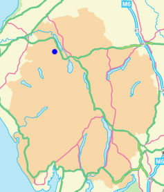
Grid Reference NY 209 260
Area
Birkett - North Western Fells, Lord's Seat Group - Top No. 301
Dewey - Buttermere Group
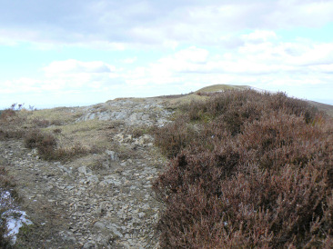
Ullister Hill's summit looking towards Lord's Seat.
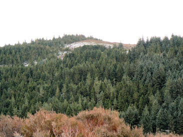
Ullister Hill.
Lanefoot Campsite - Thornthwaite - Barf - Lord's Seat - Ullister Hill - Seat How - Braithwaite - Lanefoot Campsite
Spout Force car park - Brown How on Whinlatter (150) - Whinlatter Top (151) - Tarbarrel Moss (152) - Ullister Hill (153) - Seat How (Thornthwaite) (154) - Barf (155) - Lord's Seat (156) - Broom Fell (157) - Graystones (158) - Kirk Fell on Lorton (159) - Spout Force car park
All pictures copyright © Peak Walker 2021
©Crown copyright. All rights reserved. Licence number 100045184.